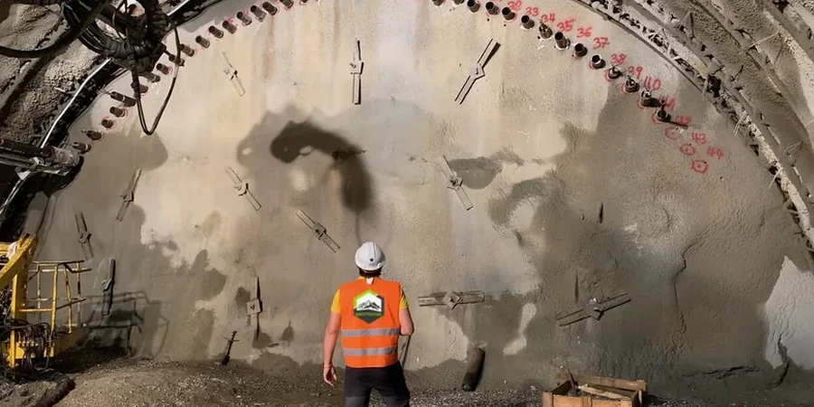
A calibrated inclinometer casing lowered into a 70 mm borehole, a vibrating-wire piezometer embedded in filter sand, and a robotic total station locked onto reflective prisms fixed to shoring — this is the hardware that grounds every excavation monitoring programme we run in Basingstoke. The town sits on a transition zone where stiff London Clay of the Thames Basin gives way to the Chalk of the North Downs, and groundwater can be perched within the superficial gravels that line the River Loddon valley. Readings that drift by a few millimetres are rarely just instrument noise; they often trace real soil-structure interaction. When an excavation cuts deeper than 3 m in the Basingstoke area, we complement the inclinometer array with a CPT test to map tip resistance and pore-pressure dissipation before the first strut is loaded, giving the numerical model a measured profile rather than an assumed one.
In Basingstoke’s London Clay-to-Chalk transition, the difference between a stable cut and a creeping failure is often less than five millimetres of cumulative displacement over a weekend.
Methodology and scope
Local considerations
Compare a deep excavation in the Chapel Hill area, where London Clay can be 30 m thick and relatively homogeneous, with one near the railway lands south of the station, where the London Clay is often missing and the Chalk is directly overlain by river gravels that act as a fast groundwater pathway. The first site will typically show slow, predictable deformation controlled by undrained shear strength; the second can produce abrupt water ingress and softening of the chalk surface within hours of exposure. In Basingstoke the most frequent surprises we encounter are not catastrophic collapses but incremental movements that go undetected because the monitoring plan was designed for the wrong geological scenario — for example, piezometers screened only in the Chalk when the real water feed is coming from the gravels above. The risk is compounded by the town’s dense urban fabric: many excavations sit within metres of Victorian masonry, live highways and brick-lined culverts that tolerate very little differential settlement. A solid trigger-action-response plan, drafted before the first bucket enters the ground, turns a monitoring dataset from a passive record into an active safety tool.
Applicable standards
BS EN 1997-1:2004 (Eurocode 7) with UK National Annex, BS 5930:2015+A1:2020 — Code of practice for ground investigations, CIRIA C760 — Guidance on embedded retaining wall design, BS 5228-2:2009 — Code of practice for noise and vibration control on construction and open sites
Associated technical services
Inclinometer & Displacement Monitoring
Vertical inclinometer casings installed behind the retaining wall to track subsurface lateral movement with depth, combined with optical prism surveys on the wall face and surrounding buildings. Data is reduced against a stable baseline and plotted as cumulative deflection versus time, allowing the engineering team to distinguish between thermal cycling of the props and genuine ground movement.
Piezometer & Groundwater Monitoring
Vibrating-wire and standpipe piezometers placed at multiple horizons to measure pore-water pressure response as the excavation proceeds. In Basingstoke’s layered geology this is critical for confirming whether dewatering is effective and whether the design assumption of drained versus undrained behaviour still holds during each stage of the dig.
Trigger-Level Reporting & Alert Systems
A structured observation method aligned with CIRIA C760: green, amber and red trigger levels are agreed before work starts, linked to specific actions — from increasing the reading frequency to stopping work and inspecting the support system. All readings are compiled into daily graphical bulletins that highlight trends, exceedances and the remaining margin to the next trigger.
Typical parameters
Frequently asked questions
When is geotechnical monitoring legally required for an excavation in Basingstoke?
There is no single statute that mandates monitoring for every excavation, but the duty falls under the Construction (Design and Management) Regulations 2015 and the requirement to design and execute works without unacceptable risk. For any temporary works deeper than about 3–4 m, or shallower excavations adjacent to sensitive structures, the temporary works designer will normally specify monitoring as part of the design. On Basingstoke sites where the London Clay or Chalk profile is variable, the building control officer or the approved inspector will expect to see a monitoring plan referenced in the construction phase plan before permitting the dig to proceed.
What instruments are typically used for a basement excavation in Basingstoke's London Clay?
For a typical basement in London Clay we install at least one inclinometer casing behind the retaining wall to track lateral deflection with depth, paired with vibrating-wire piezometers to watch for negative pore pressures that can temporarily increase clay strength during cutting. On the surface, optical prisms fixed to the wall and to adjacent buildings are read with a robotic total station. If the excavation is close to a road or a listed structure, we add triaxial geophones for vibration monitoring. The instrument mix is always site-specific, but the principle is the same: measure what the ground is actually doing, not what the model assumed it would do.
What does excavation monitoring cost for a project in the Basingstoke area?
Cost depends on the number of instruments, the depth of the excavation and the duration of the monitoring period. For a modest basement dig with one inclinometer, two piezometers and surface prism monitoring over six to eight weeks, the budget typically falls between £580 and £2,230. A larger commercial excavation with multiple inclinometer strings, automated data loggers and daily reporting over several months will sit at the upper end of that range or beyond. We provide a fixed-price proposal once we have reviewed the ground investigation data and the temporary works drawings.
How quickly can you mobilise monitoring instruments if movement is already suspected on an active Basingstoke site?
We can usually have a team on site within 24 to 48 hours of instruction, depending on instrument availability. The priority in an urgent situation is to establish a reliable baseline as quickly as possible — typically by installing surface prisms and a first inclinometer casing on the same day, even if some of the deeper piezometers follow a few days later. In Basingstoke the logistics are straightforward because of the town's motorway access, and we keep a stock of the most commonly needed sensors ready for rapid deployment across the South East.